Surveying Services; Field Construction Monitoring Services and Map Displays

Boundary Surveying Services
- ALTA/ACSM Surveys
- Boundary Retracement
- Right-Of-Way Surveys
- Mortgage Location Surveys
- Property Easements
- Public Records Research
- Preparation of Legal Description
- Lot Splits and Consolidations
- Subdivision Plats
- Annexation Plats
- Condominium Plats

Specialized Survey Services
- Drone Surveying
- Well Plat Surveys
- Topographic Surveys
- Global Position Systems (GPS)
- Pipeline Routing Surveys
- Pipeline As-Built Surveys
- Hydrographic Surveys
- Tree Surveys
- Aerial Mapping Control
- Flood Plan Certifications and FEMA Map Amendments
.jpg)
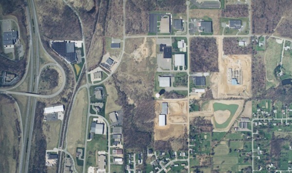
Map Displays for Artistic Presentation
- Artistic styled map renderings suitable for framing
- Boundary surveys prepared with historic styled details
- Suitable for framed display in the office or home, (matted framing offered)
- Aerial photographs offered as an option with historic map rendering

Construction Survey Services and Field Construction Observation Services
- As-Built Surveys
- Construction Staking
- Residential Homes, Buildings
- Subdivision - Roads, Curbs and Gutters, Grades, and Utilities
- Commercial and Industrial Sites - Foundations, Roads, and Utilities
- Field Construction Monitoring Services including: On-Site Owners Representative and Construction Observation for Conformity with Contract Drawings and Specifications for: Storm Drainage, Water Lines, Sanitary Sewers, Pump Stations, Flexible Paving, Rigid Paving, Stormwater Management Permit Inspections, Survey Record Plans and Construction Staking, and Concrete and Asphalt Testing
- Daily Progress Reports
- Review and Manage Change Orders on Owner's Behalf
- Review of Payment Requests, Quantities and Final Payments
- Punch List Preparation and Assist with Close-Out Documentation
